Topographic Survey
Negotiated Price
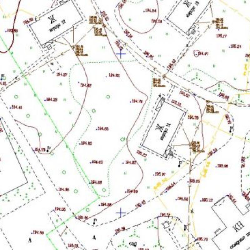
Topographic surveying is a single set of topographic surveys, through the processing of data obtained as a result of surveying. The results of the work are plans and maps.
Topographical works vary depending on the scale of the plans obtained as a result of them. These may be plans for large (1: 100, 1: 200, 1: 500, 1: 1000, 1: 2000) and small (1: 10000, 1: 25000) scales. Topographic surveys of 1: 500 and other scales are carried out according to the rules that are set in the instructions. The topoplan obtained as a result of the work performed is drawn in strict accordance with generally accepted conventional signs. However, at the request of the customer specific measurement work can be carried out and individual symbols used. In addition, the customer can get the results of surveying on paper, in electronic format or in the form of 3D-visualization. A topographic plan made on paper is a topographic survey with a stamp from GEO ENGINEERING LLP, while the plan in electronic form has the DWG format. Along with this, after carrying out topographic surveys and creating a topographic plan or topographic map, the customer receives a detailed report on all the surveys.
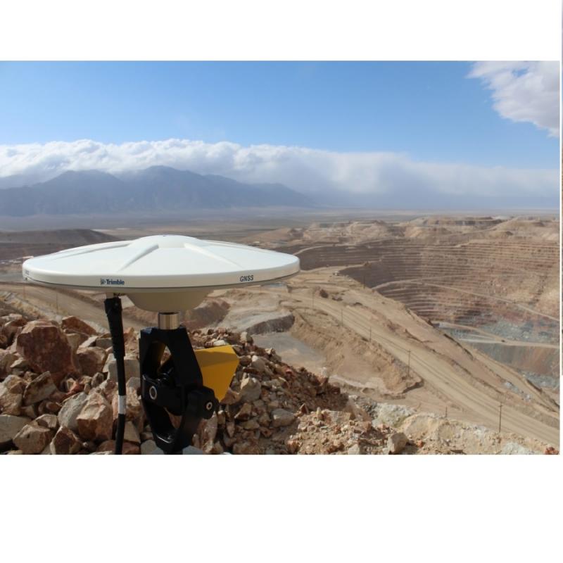
Our company performs topographic surveys in full accordance with the technology, using the most modern geodetic equipment, which allows us to achieve results that meet the highest requirements for measurement accuracy.


 Kazakhstan

