Engineering Surveying
Negotiated Price
Engineering Surveying for construction are works absolutely necessary to obtain topographic and geodetic data and information on the situation on the ground: on existing underground, above-ground and ground-based buildings and structures, design features and planning elements of the territory. These data are necessary for a comprehensive assessment of the technogenic and natural conditions of the territory of future construction and competent substantiation of the design, construction and further use of structures, as well as the elimination of existing facilities. Geodetic surveys are subject to increased requirements for their accuracy, which contributes to the dynamic development and improvement of instrumental and digital technologies for their implementation.
We offer you a full range of geodetic surveys of any complexity and volume.
The list of works performed by our specialists includes:
collection, analysis and further computer processing (digitization) of available planning and high-altitude cartographic and topographic materials;
reconnaissance study of the territory of future work;
development of survey and planning-high-altitude geodetic substantiation in the form of a network of fixed geodetic signs - benchmarks;
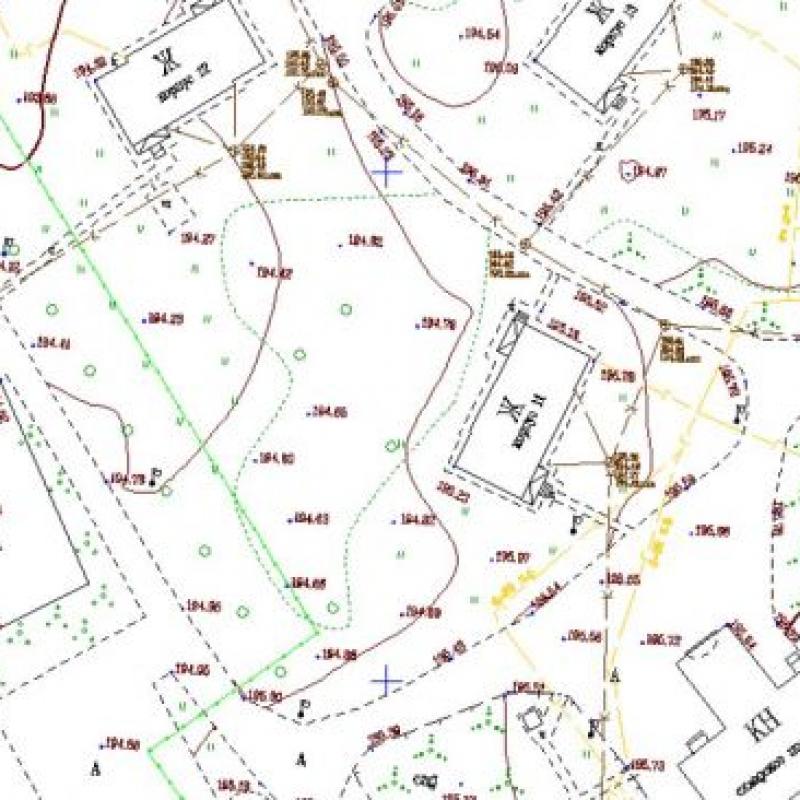
implementation of engineering and topographic surveys of terrain at a scale of 1: 500;
measures for the search, detection and topographic survey of underground utilities;
cameral processing of all received information;
creation of a digital model of the territory, which is an electronic layer-by-layer scalable geo-basis.
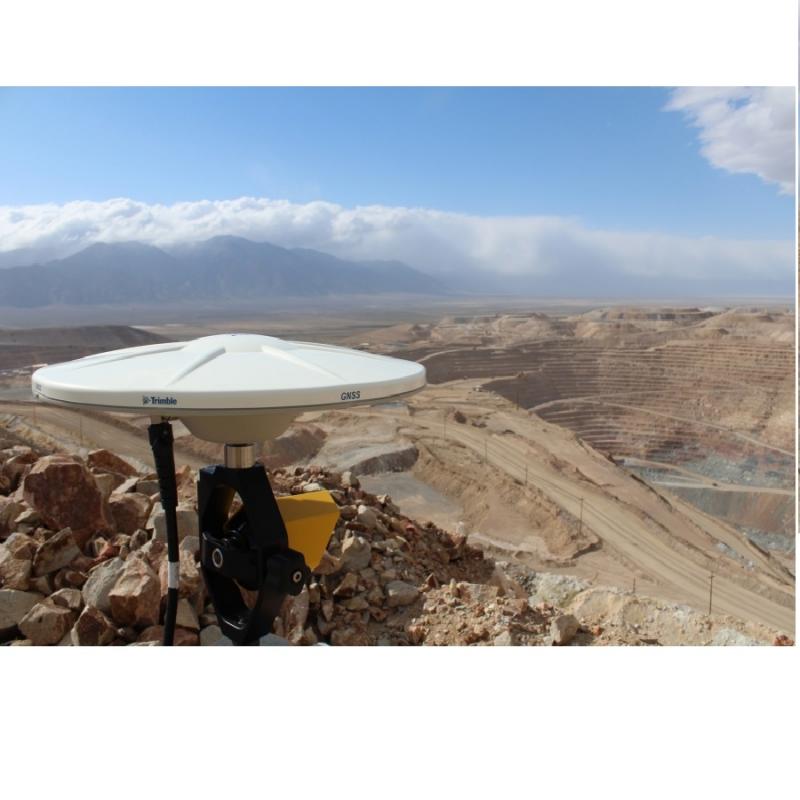
Engineering Surveying for construction are carried out by our specialists with the help of modern equipment and with strict observance of all the rules and building standards, in particular, SP 11-104-97.


 Kazakhstan

